The Earth: map, showing the voyages of La Pérouse. Engraving, 1800.

Date:
April 16th 1800
Reference:
677710i
  • Pictures
  • Online

Available online

view The Earth: map, showing the voyages of La Pérouse. Engraving, 1800.

Public Domain Mark

You can use this work for any purpose without restriction under copyright law. Read more about this licence.

Credit

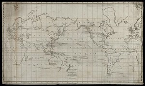
The Earth: map, showing the voyages of La Pérouse. Engraving, 1800. Wellcome Collection. Public Domain Mark. Source: Wellcome Collection.

Selected images from this work

View 1 image

About this work

Publication/Creation

[London] (Piccadilly) : J. Stockdale, April 16th 1800.

Physical description

1 print : engraving ; image and border approximately 37 x 61.7 cm

Lettering

A chart of the world exhibiting the track of M. de La Pérouse also the tracks of the vessels La recherche & L'espérance in search of that navigator

Reference

Wellcome Collection 677710i

Type/Technique

Languages

Where to find it

  • LocationStatusAccess
    Closed stores

Permanent link