Public Domain Mark
You can use this work for any purpose without restriction under copyright law. Read more about this licence.
Credit
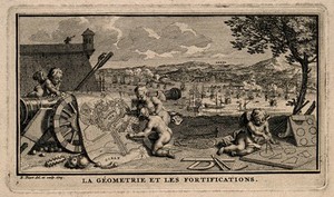
Putti plan war manoeuvres on maps with the help of geometrical diagrams; representing geometry and military science. Etching by B. Picart, 1729, after himself. Wellcome Collection. Public Domain Mark. Source: Wellcome Collection.